How did the ride go?
Look back together.
Review the route, alerts and riding together.
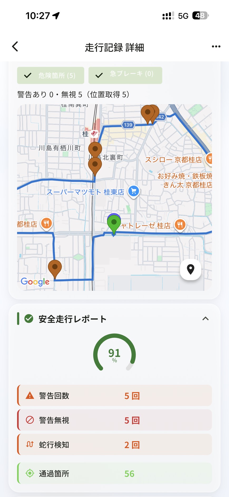
Check your child’s location and hazards along the way. Stay connected as a family.
For communities and schools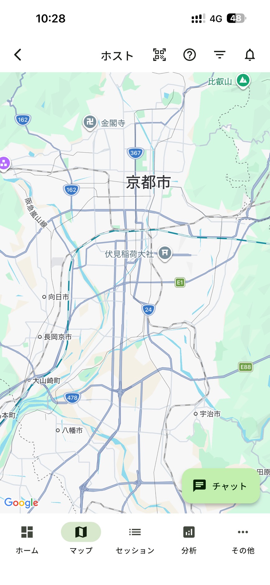
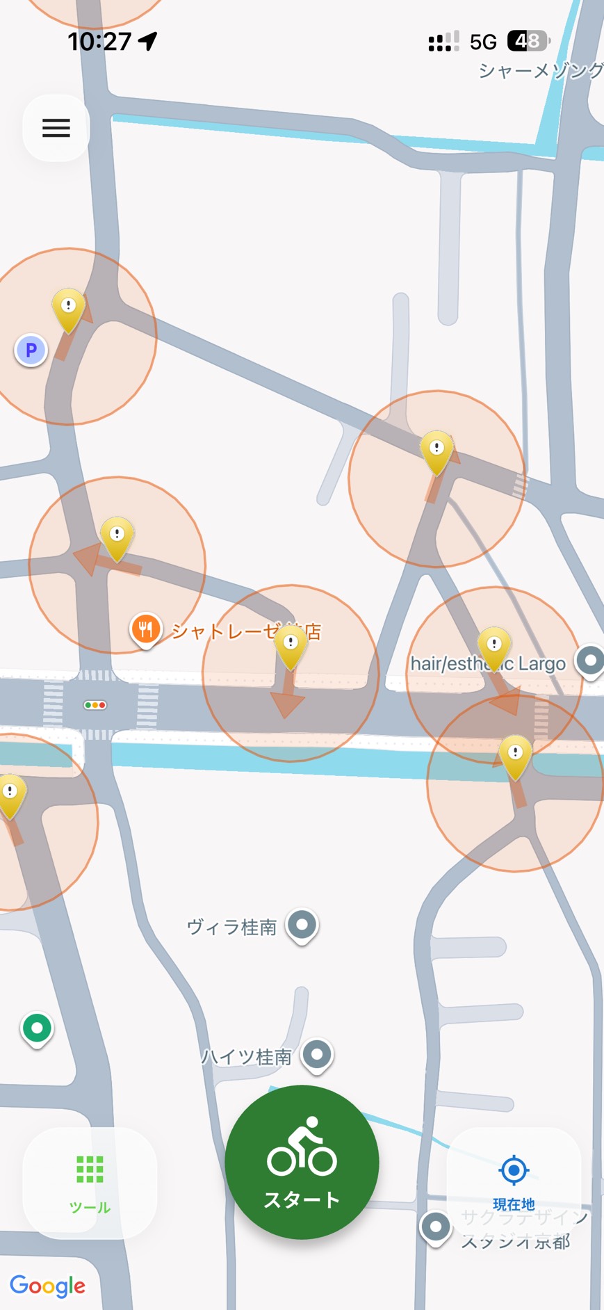
Warnings when approaching hazards or riding unsafely.
Location accuracy and connectivity may delay updates or notifications.
Review the route, alerts and riding together.
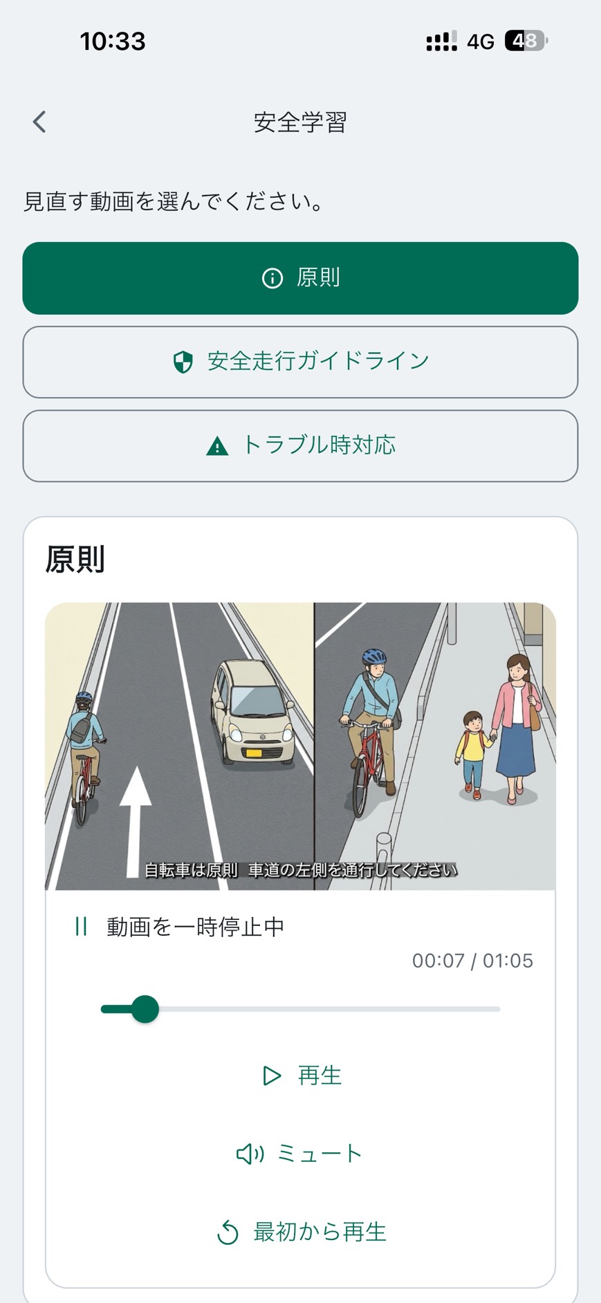
Learn cycling rules and safety basics through videos.
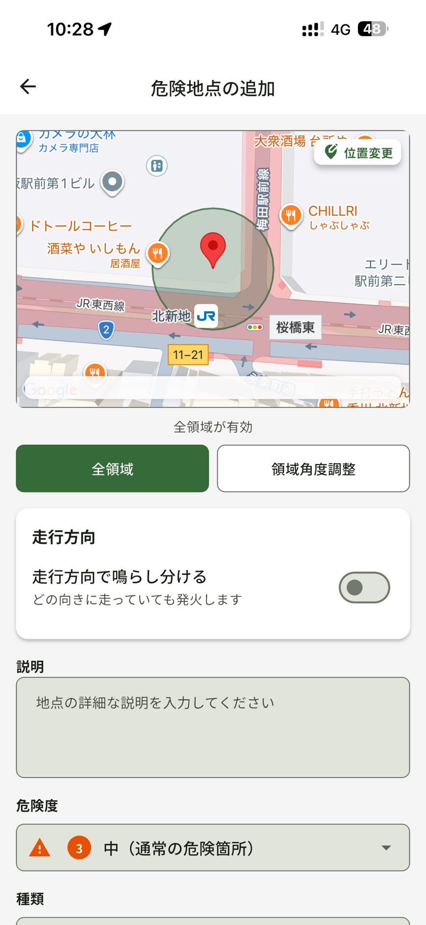
Mark close-call locations on the map and share them with others.
Stop somewhere safe before entering information or checking the screen.
For local authorities, schools and communities
Record close calls and hazards on the map. We aim to share these insights with local authorities to help improve roads and traffic environments.
Discuss local useRecord hazards encountered during everyday journeys, together with their location.
Share places needing care and understand local issues.
Use shared observations to help inform safety measures.
Consider improvements to roads and traffic alongside local conditions.
Safety is a smartphone app. Check the settings and supported environment in the app.
Illustrative pins and notifications are overlaid on actual app screens. Figures and place names are examples.
Talk to us about sharing local hazards, safety education and making use of collected insights.